

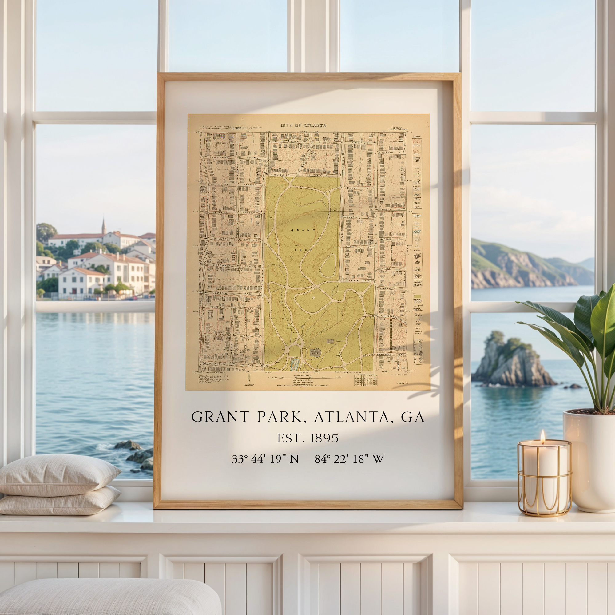
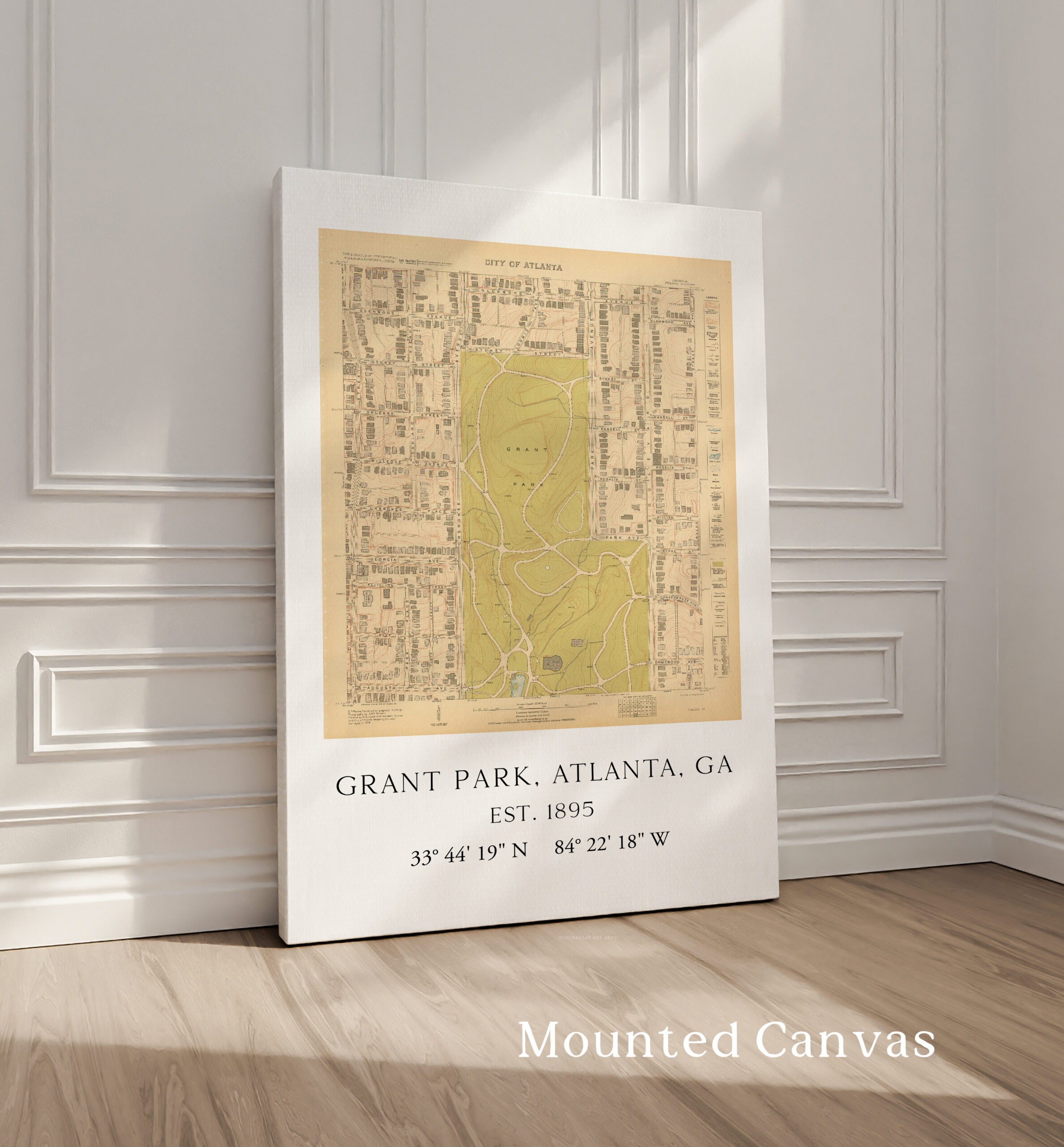
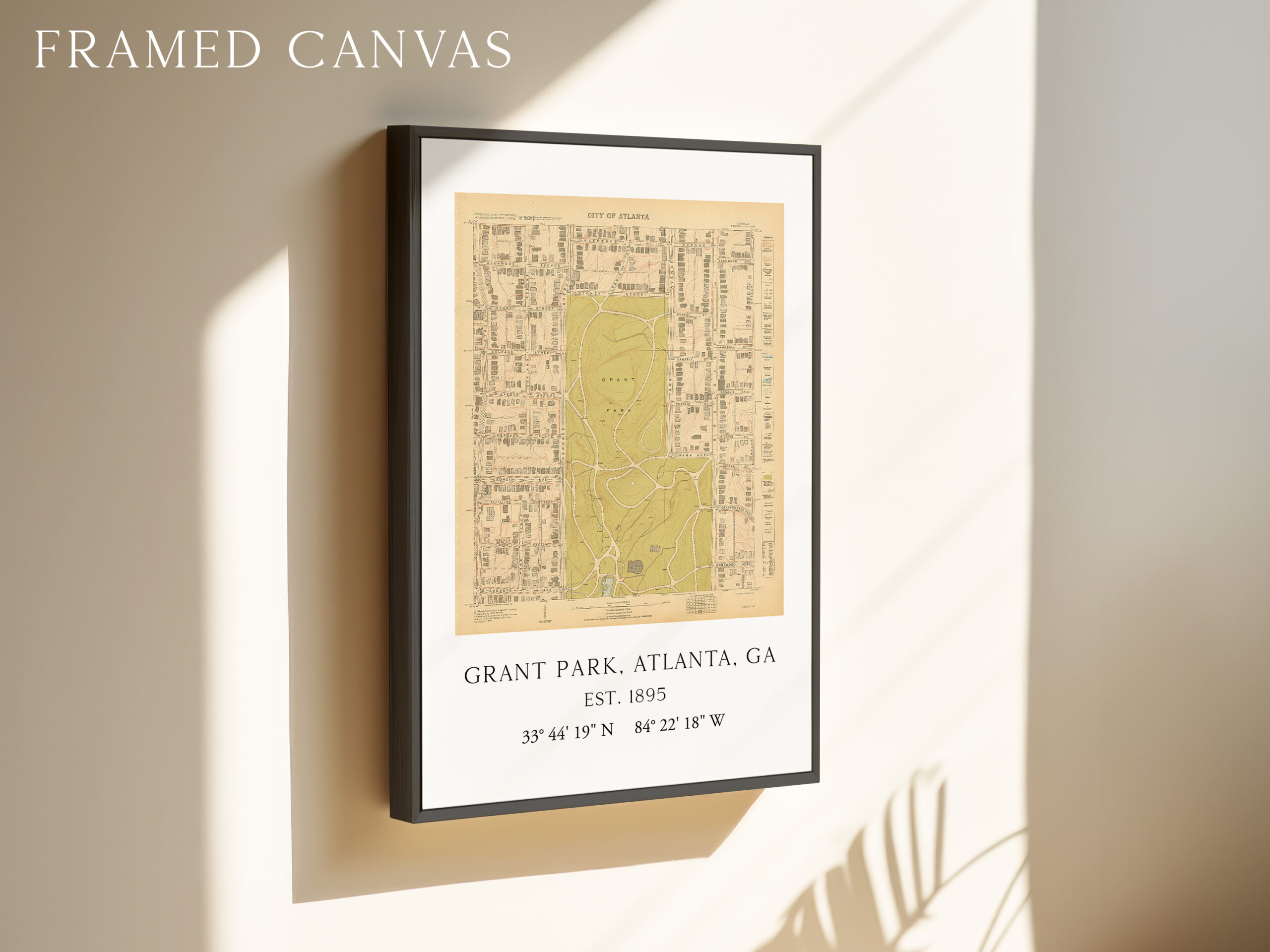
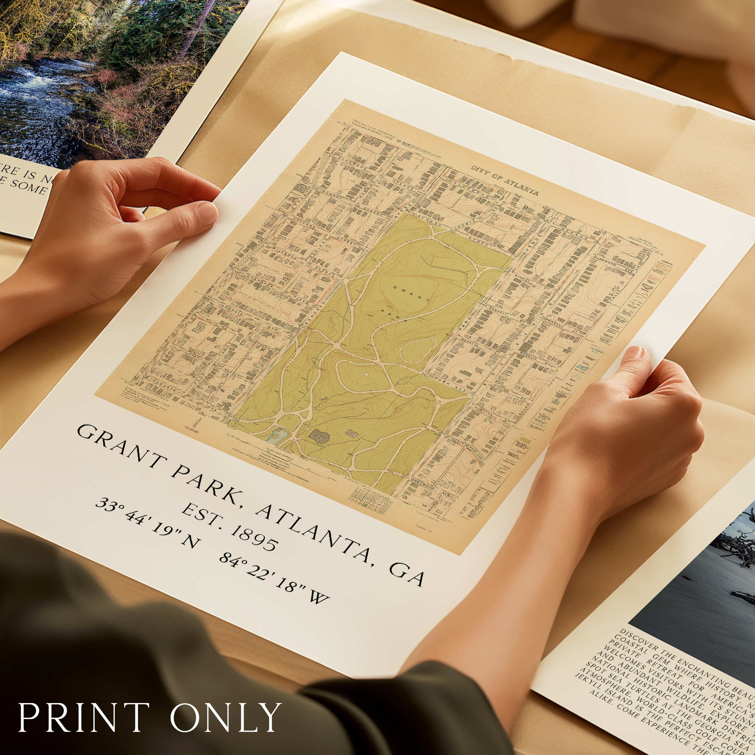
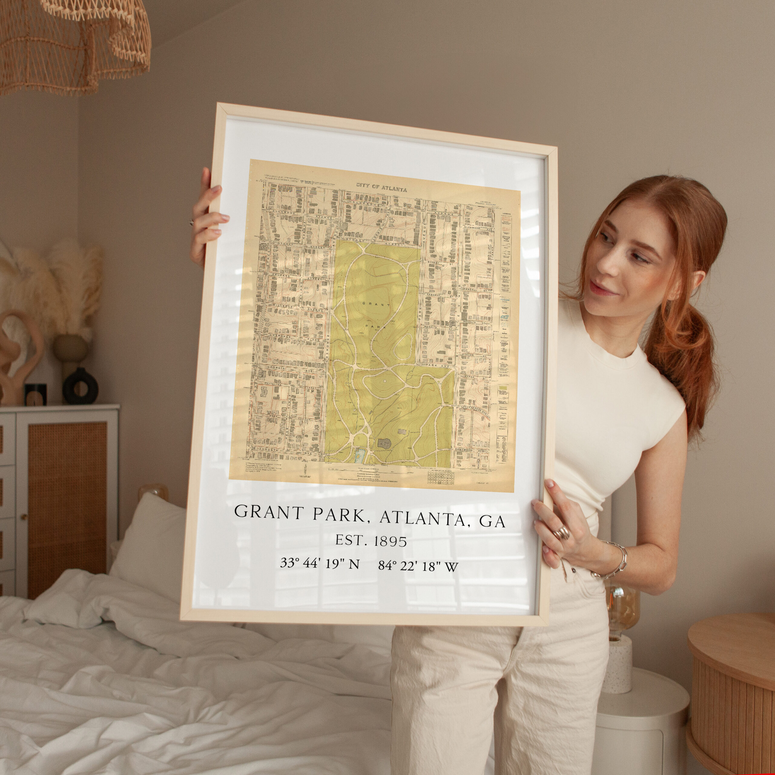
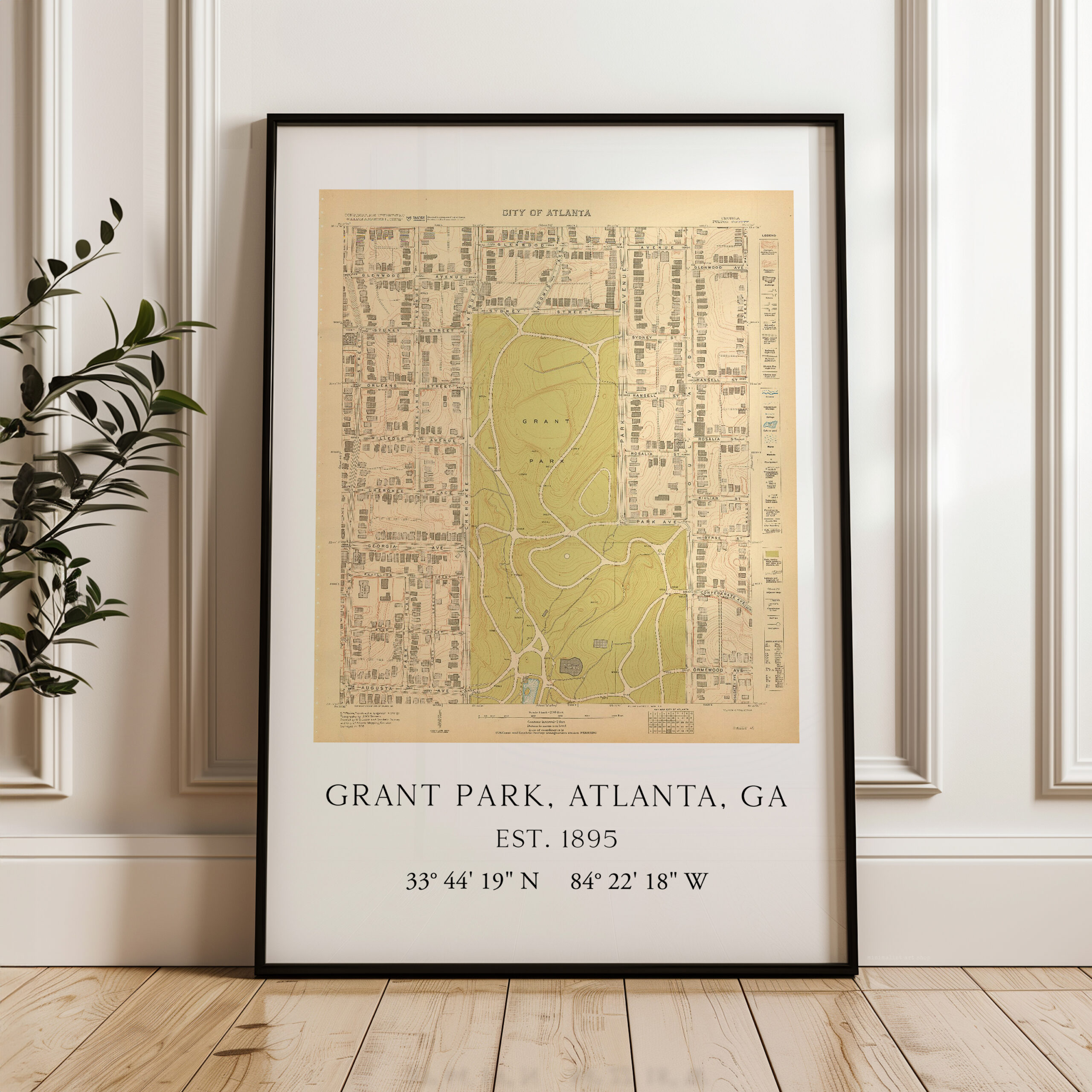
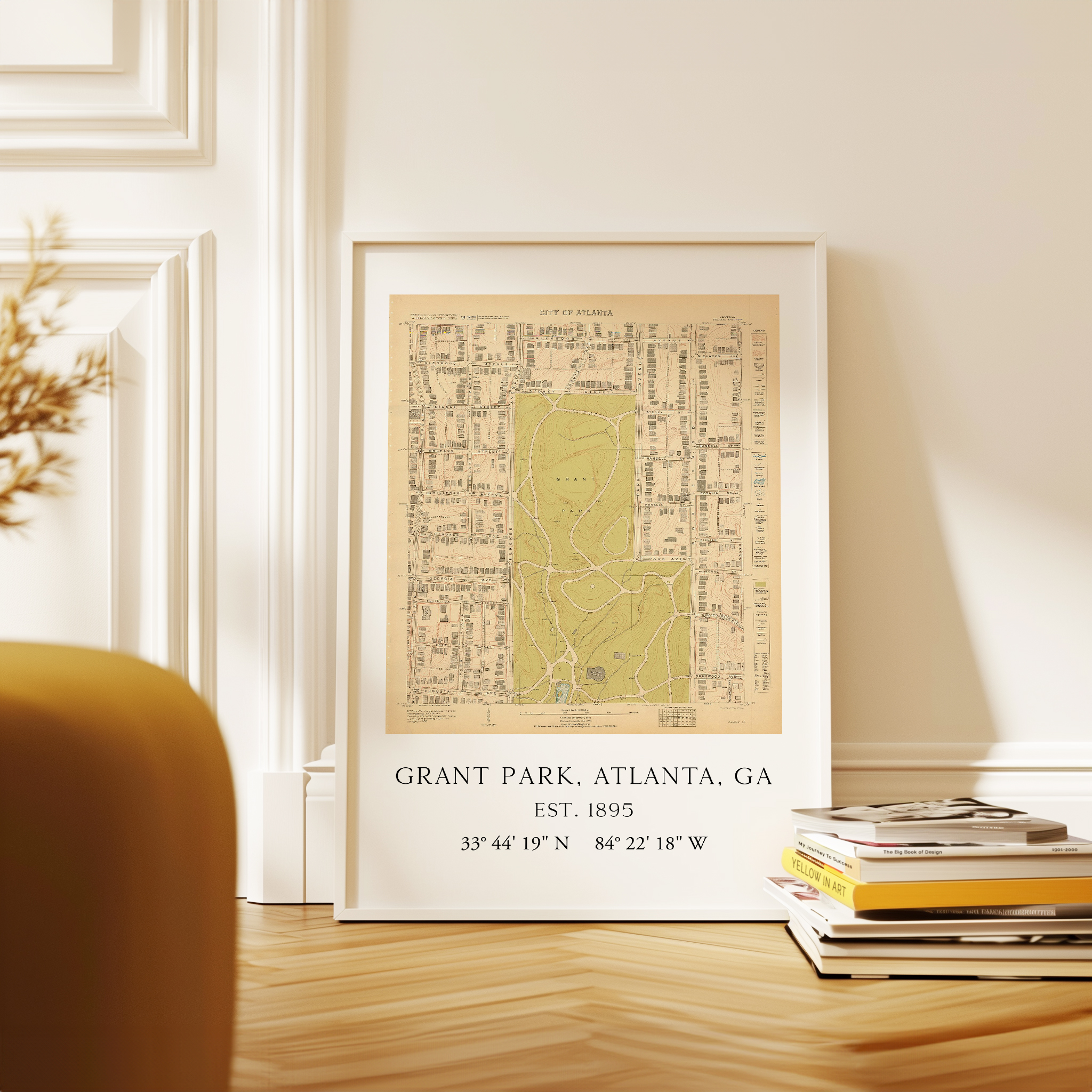
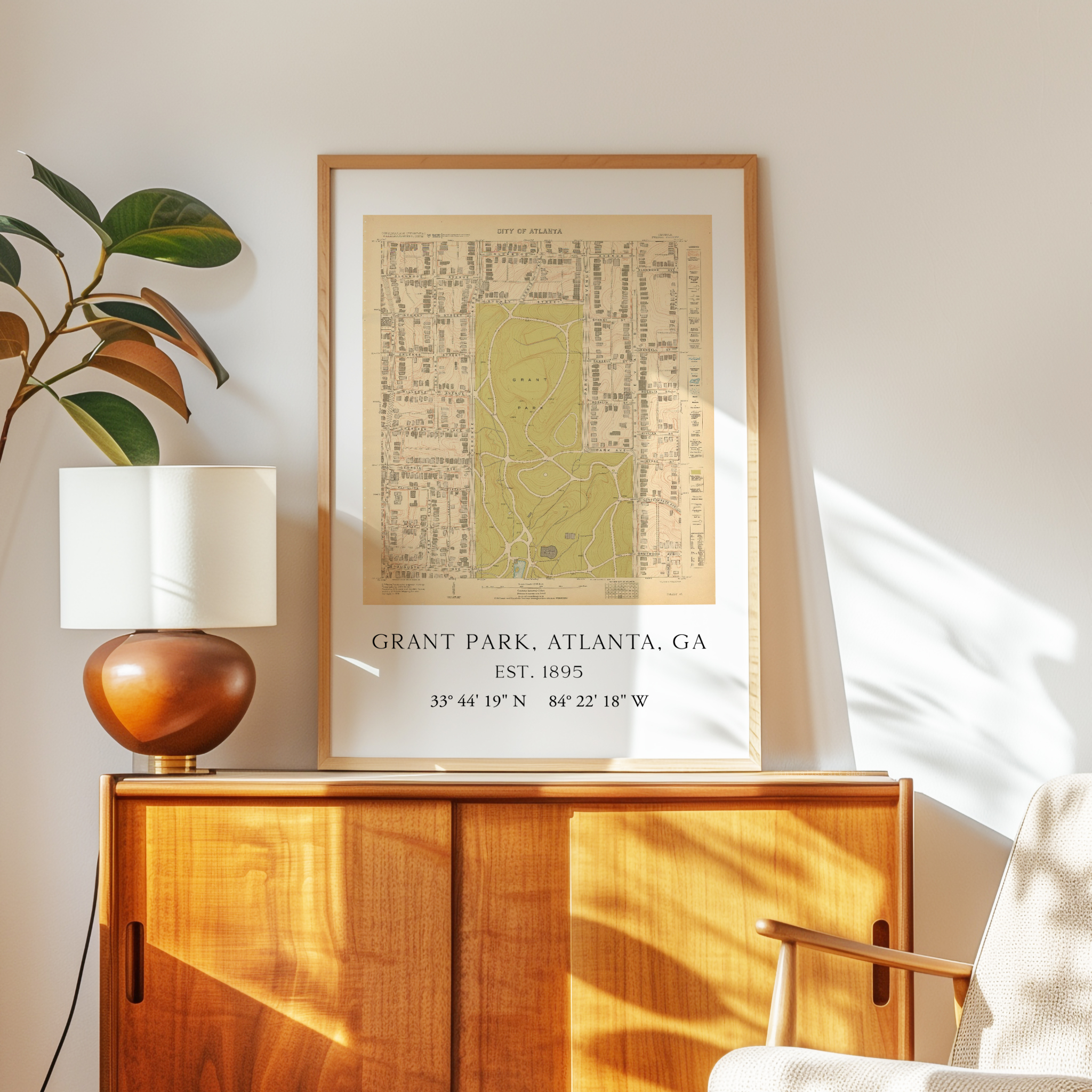
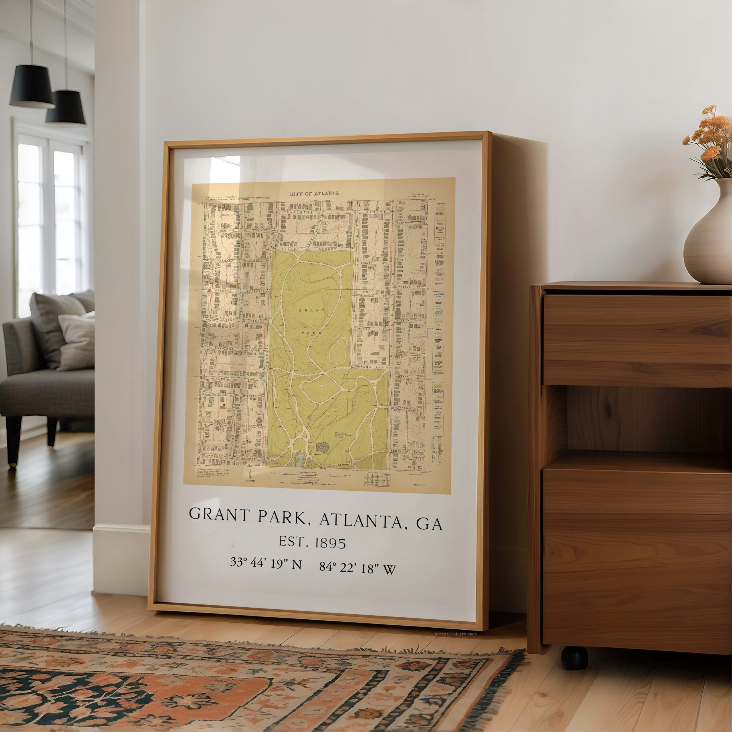
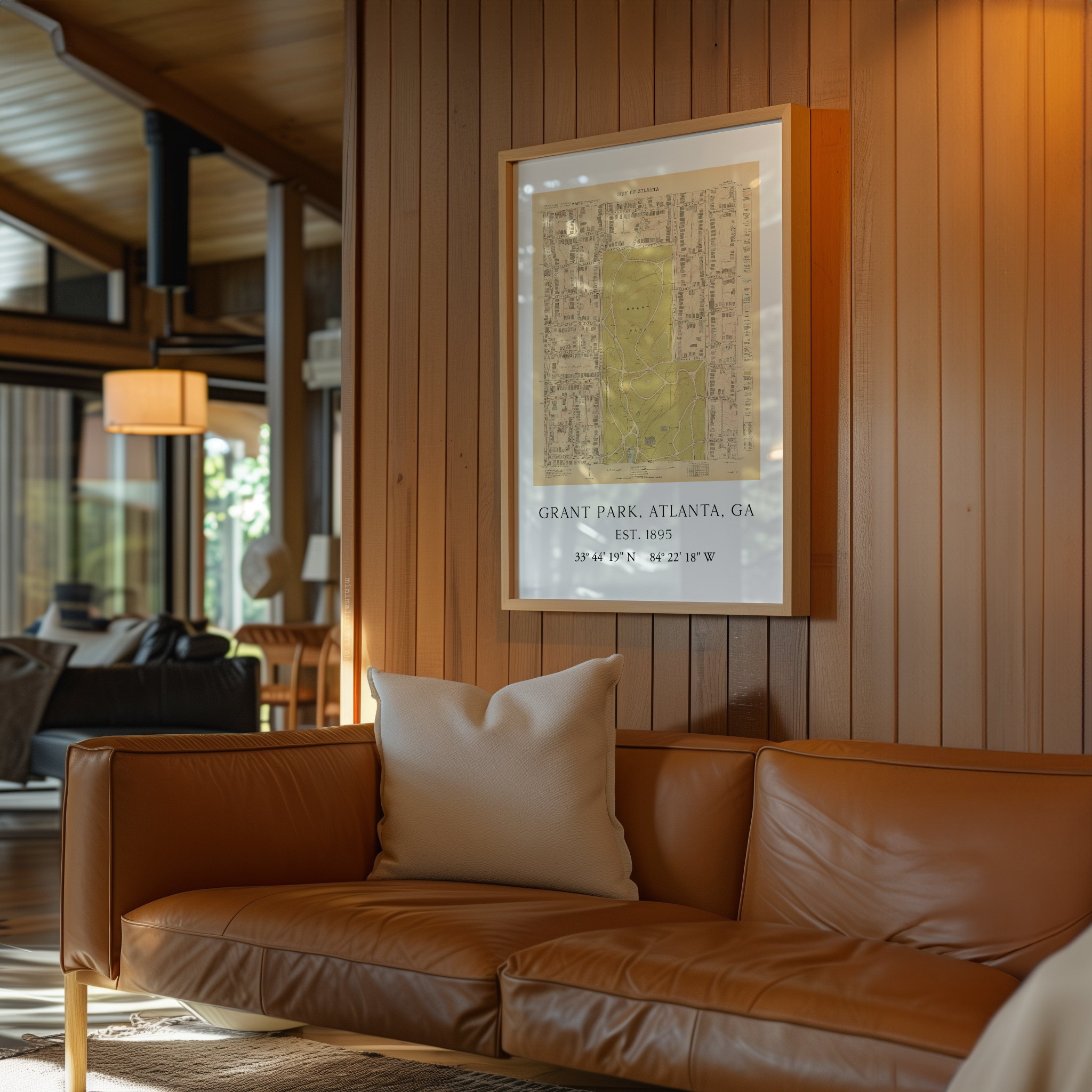
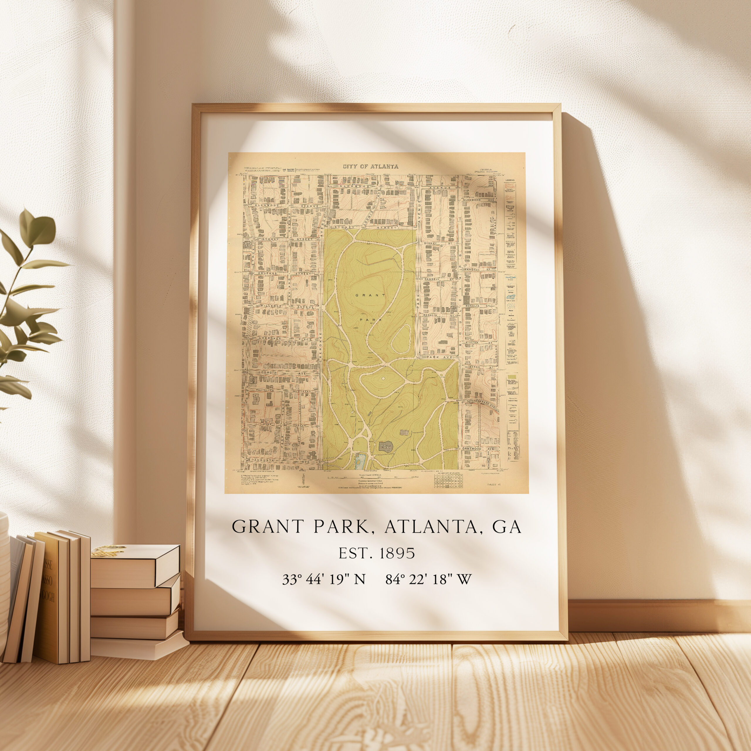
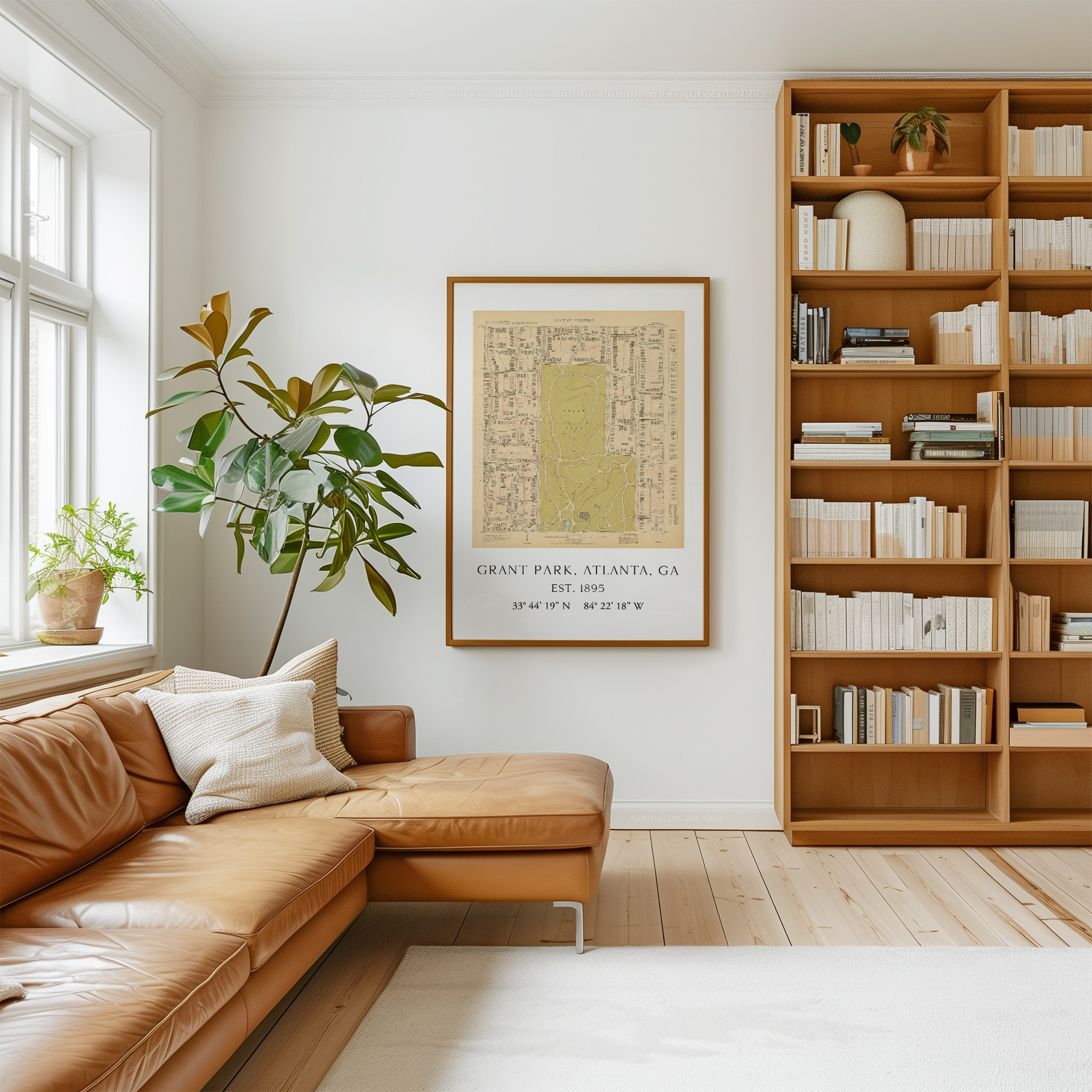
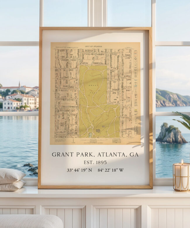
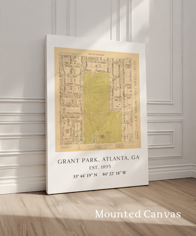
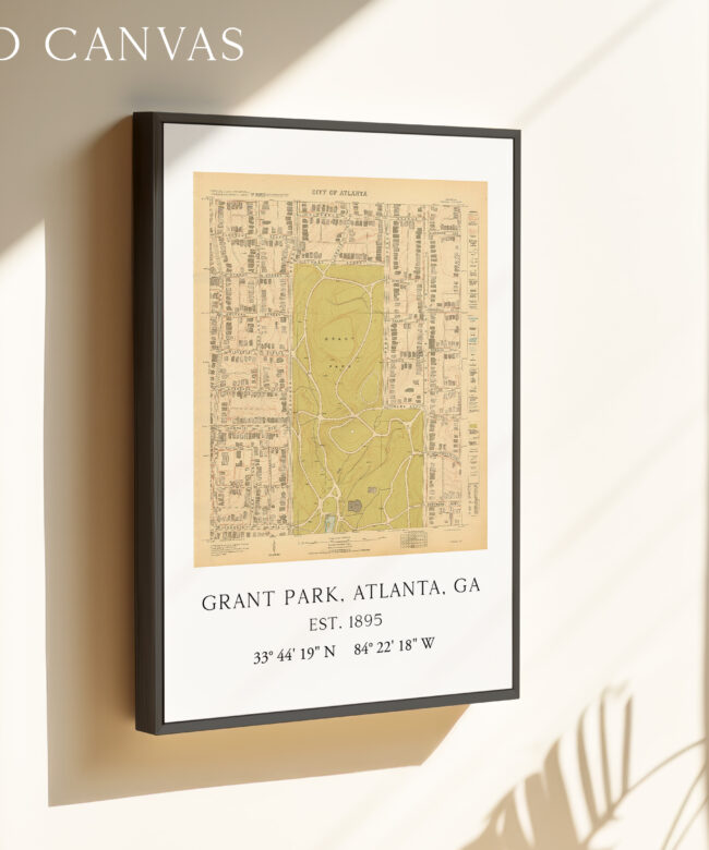
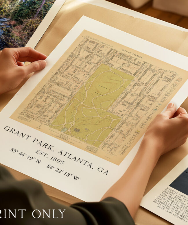
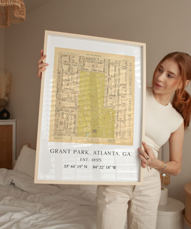
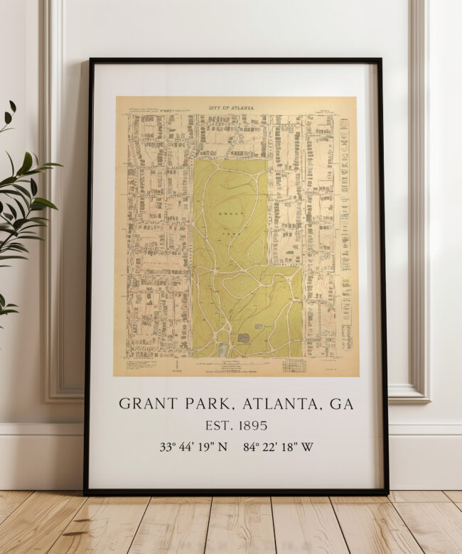
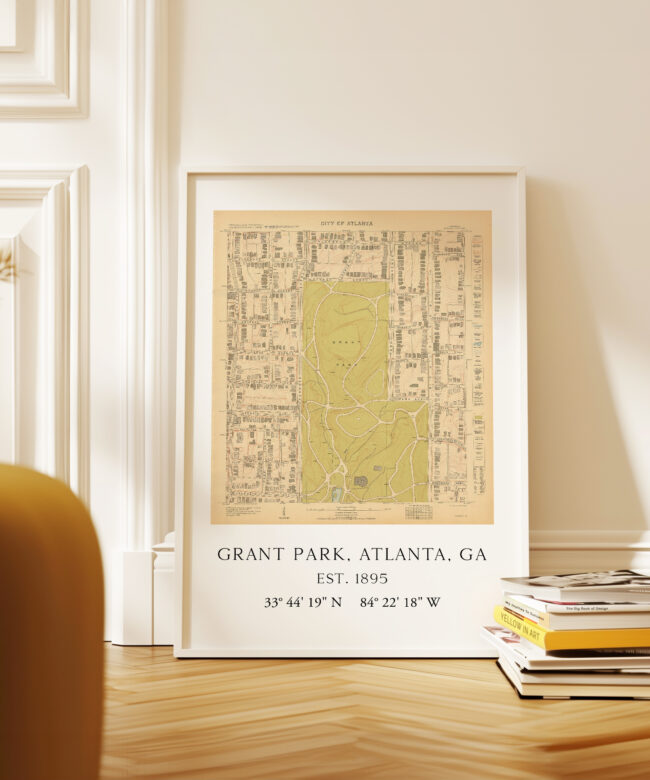
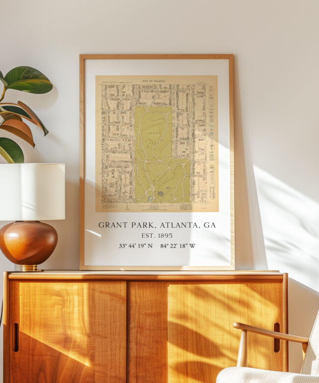
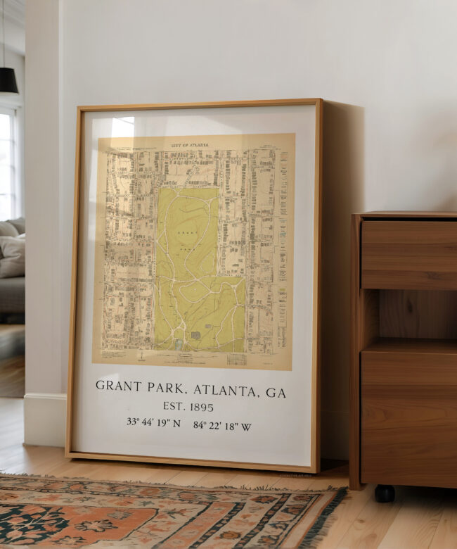
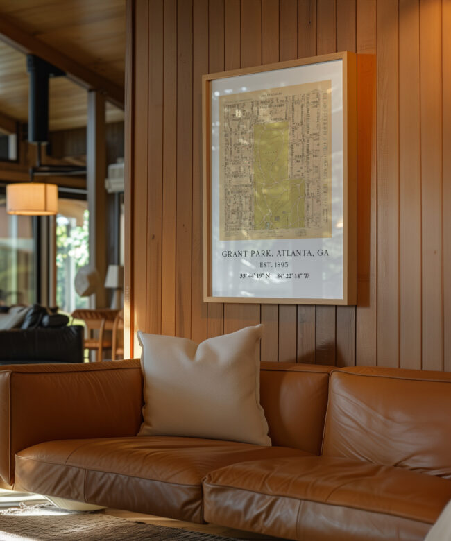
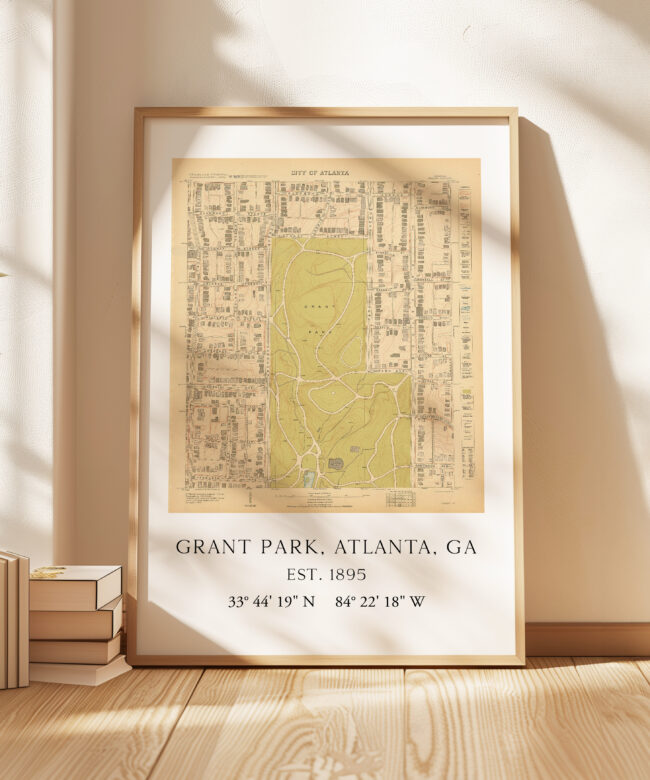
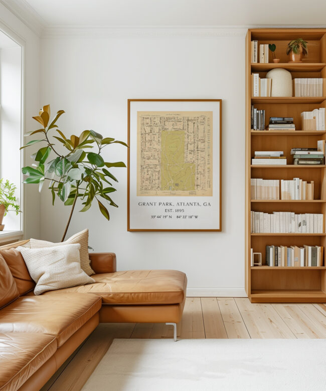
Add a touch of history to your home with this vintage map print of Grant Park in Atlanta, Georgia. Originally published in 1930, this map beautifully captures the layout of one of Atlanta’s most iconic neighborhoods. Featuring intricate details of the park’s streets and paths, the map is paired with the GPS coordinates for a personal and timeless touch. The design, combined with the year of establishment (1895), makes this print the perfect blend of history and style, ideal for anyone who loves Atlanta or is passionate about vintage cartography.
This art is available unframed, framed, and mounted on canvas.
The different frames you see are for illustration purposes, as to give you some ideas of what the art can look like if you purchase an UNFRAMED PRINT and go purchase a frame similar to the ones displayed.
Please read below what you will receive for each available option:
PRINT NO FRAME INFO
We offer three paper options for prints with no frames.
Archival Matte Print
Our most popular paper, this paper is an excellent choice for premium fine art reproductions, photo prints, and open-edition décor. Its heavyweight construction delivers accurate color reproduction with crisp contrast and high-resolution detail. An instant-dry coating helps prevent fingerprints and smudging for a clean, professional finish.
Weight: 230 gsm | Thickness: 9.5 mil
Hot Press Matte Fine Art Paper
This high-quality, archival-grade inkjet paper is acid-free and made from 100% cotton rag. It offers an exceptionally wide color gamut, deep black density, and high D-Max, delivering striking contrast in both black-and-white and color prints. It is our thickest and heaviest paper option.
Weight: 330 gsm | Thickness: 17 mil
Luster Photo Paper
This premium photo paper features a resin coating that gives it a thicker, more substantial feel and enhanced durability compared to most mass-market photo papers. The coating reduces glare and minimizes visible fingerprints, allowing ink colors to appear rich and vibrant without interference from smudges or smears.
Weight: 250 gsm | Thickness: 9.5 mil
BLACK FRAMED PRINTS INFO
- .875” Wide x .875″ Tall Solid Wood Frame
- Hanging Hardware Included
- Optical-Grade Clear Acrylic Glazing
- Made to Order in the USA
NATURAL WOOD FRAMED PRINTS INFO
- .875” Wide x 1.125″ Tall Solid Wood Frame
- Hanging Hardware Included
- Optical-Grade Clear Acrylic Glazing
- Made to Order in the USA
FRAMED CANVAS INFO
- Solid Wood Frame that wraps around mounted canvas
- Frame thickness: 1.25″
- Comes with rubber pads on the back corners
- Made to Order in the USA
MOUNTED CANVAS INFO
Mounted Canvas Prints are NOT framed. Our art canvas is wrapped around a high quality 1.25″ thick wood stretcher to create a gorgeous gallery wrap that’s ready for hanging. They are printed on Acid-free, PH-neutral, poly-cotton base. Printed on textured and fade-resistant canvas. Canvas is a great option because of its minimalist beauty without the expense of framing and matting.
- 1.25″ (3.18 cm) deep
- No Frame – See picture of MOUNTED CANVAS
- Mounting brackets included
- Hand-glued solid wood stretcher bars
- Made to Order in the USA
Shop for more items featuring Atlanta Maps, Art, and Photographs.
Related products
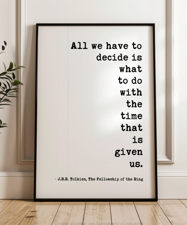
POEMS + QUOTES ART
Free Shipping!
-
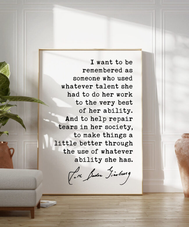
POEMS + QUOTES ART
I want to be remembered as someone… – Ruth Bader Ginsburg Quote Typography Art Print
Free Shipping!
-
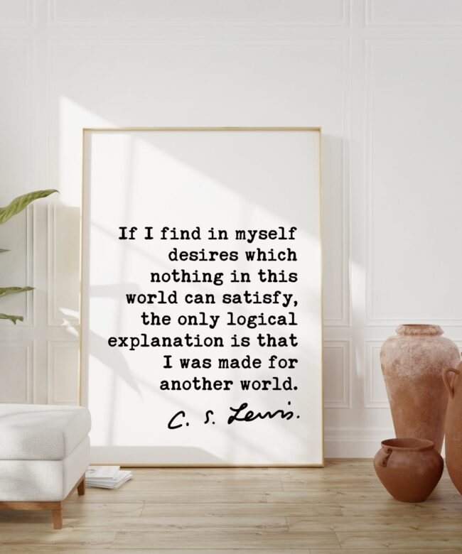

POEMS + QUOTES ART
Free Shipping!
-
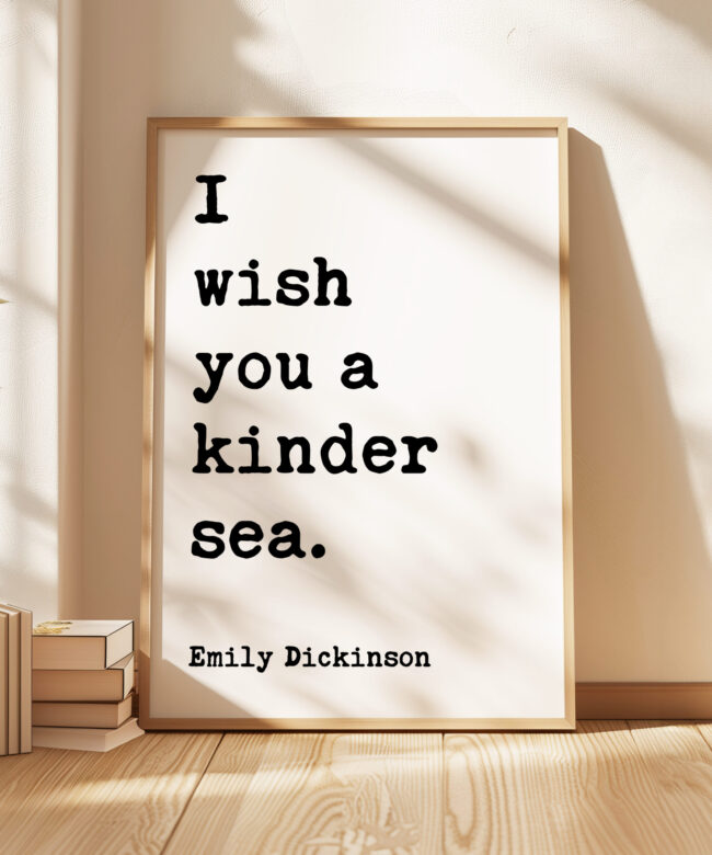
EMILY DICKINSON POETRY ART
I wish you a kinder sea. • Emily Dickinson Quote • Typography Art Print
Free Shipping!
-
POEMS + QUOTES ART
Free Shipping!
-